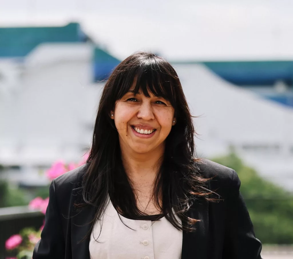
2026 Data Champion
Julia Galindo
Municipal Geographic Information Director
Guatemala City, Guatemala
It’s important to prioritize planning before acting. Even though responses and reactions must be immediate, every process, both operational and strategic, requires prior planning; it requires setting clear goals about where we are going.
Why did you join your city government?
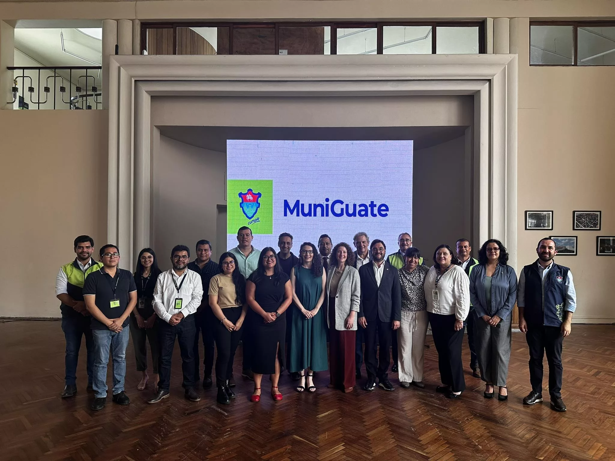
I joined the municipality because of a job opportunity where I could apply my knowledge in cadaster and geographic information systems. I really like what geographic information systems contribute to the city: being able to use cartography and geographic analysis to see patterns that otherwise would not be visible. Even though our team is not the visible face to the citizens, our work — what we produce, how we visualize the information and share it — does provide visibility for other teams that then make better decisions based on that information. That is the motivation on difficult days: to always think about and remember that purpose—why we are here, what our goal is. We always seek to improve the quality of life of residents in an indirect way, and to learn from the difficult situations that may arise along the way and see how to keep ourselves moving forward.
When you think of your city’s successful use of data, what are you most proud of?
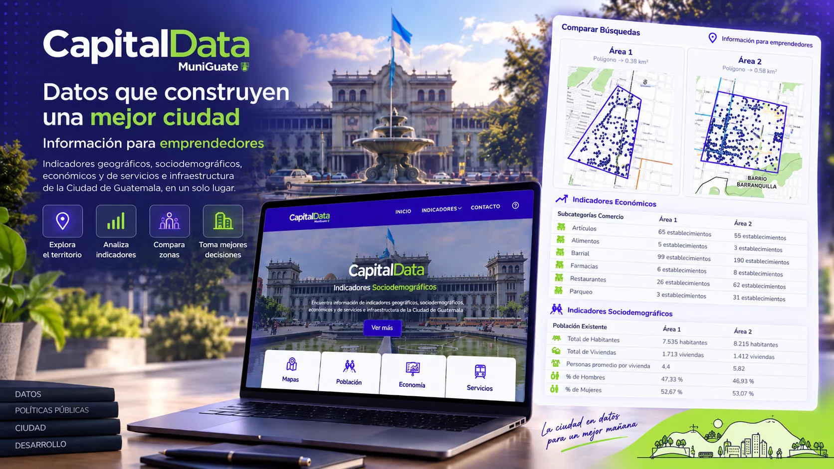
I feel very proud of the effort being made to collect data systematically and especially when it becomes a valuable resource for gaining a better understanding of the city. One example is the survey of economic activities, which has been used to create base maps, analyze service coverage and gaps, study loading and unloading areas for business, and we are also exploring the possibility of using this information to identify establishments that may be required to obtain a sound permit. This information is also integrated with population and territorial data in CapitalData, a tool that provides insight into the characteristics of areas where someone may be considering starting a business. That is one of the things I am proudest of, knowing that information collected is not necessarily only for one purpose, but can have multiple purposes at the institutional level.
Describe a specific problem you were trying to solve in your city. How did data guide your work and decision-making?
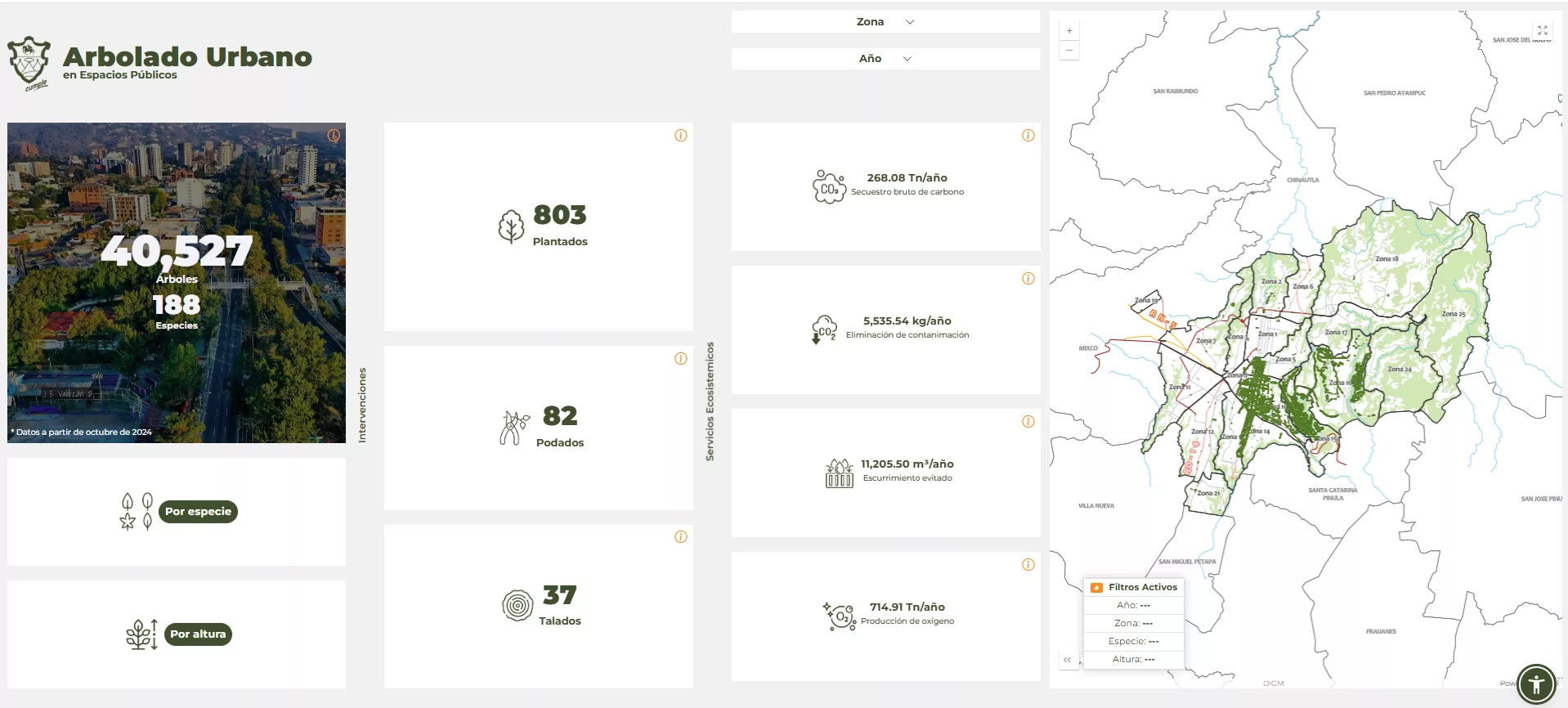
The Environmental Directorate was looking for a way to collect all the information on the city’s urban trees in public spaces. Together, we worked on a pilot data project for Zone 15, which aimed to collect information on the trees. In addition to the trees’ locations, we collect the species and characteristics of each tree, and that allows us to know what environmental benefits they provide to the city. The pilot was extended and now we have surveyed five of 22 zones of the city, with an inventory of more than 40,000 trees. This information has allowed us to do some important analyses. For example, we can identify which species are more common, and determine the average width of their canopy. With that we can decide how many trees could we plant in a certain area, assuming that average canopy size. Another example is the reverse: in reforestations that the city has carried out, we can say, “The trees that we planted there—we know the average of their canopy—so we can estimate the shade they will provide.” If the tree cover is maintained over time, it will continue to provide shade that can help reduce temperatures in the area.
What lessons have you learned that other city leaders might find helpful?
I think the first lesson is to know the system in which you’re working. That means knowing our municipality, our city, our management teams. I talk about knowing the ecosystem: if we don’t know how that system works, decisions (and how effective they are) feel much more distant. It’s important to prioritize planning before acting. Even though responses and reactions must be immediate, every process, both operational and strategic, requires prior planning; it requires setting clear goals about where we are going.
The big challenge for local governments is that, in our case, we have four‑year terms. That can seem like a long time, but once you’re governing, each year goes by quickly and factors change. We also went through COVID, which forced us to reorient. If we hadn’t had prior planning, we probably would have been adrift. So aligning all planning processes with data governance processes is a fundamental learning. And the challenge is to get those strategies embedded in the teams so that we can continue working in the same way. It takes a lot of work, a lot of process and a lot of patience, but it’s the safest path.
What did achieving What Works Cities Certification mean to you and your city?
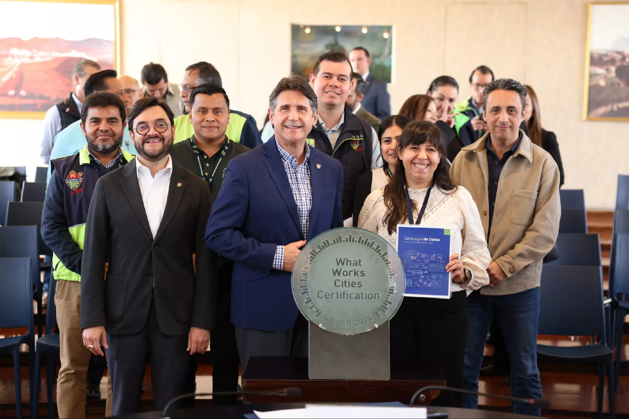
For us, achieving Certification was both a discovery and a recognition of the work that many municipal teams had already been doing. At first we thought we had to have everything perfect, and that we weren’t going to achieve Certification. But as we came to understand the process and started looking for the evidence, we realized that, in fact, many things were already in place—maybe not all perfect, maybe not all documented, but there were good practices in these different areas covered by What Works Cities Certification. It was also a turning point, because we then understood where we were weaker, where we were stronger and what we needed to keep improving. From our Certification process we defined our Municipal Data Governance Policy, and that gives us guidance on how we approach data use institutionally.
What’s next for your work—and how do you hope to keep using data?
We have been institutionalizing the use of data. I feel very proud not just of the data collection, but being able to use it effectively so that it has an impact. Sometimes we have a lot of data and we don’t use all of it, so we are looking to keep pushing to make the use of data institutional, part of day‑to‑day life.We also want to break down silos, so that data can be shared.
- We are always watching for data quality so that whatever is published we can trust, and it can be used.
- We also want to continue strengthening the use of geographic information as a way to integrate different data sources, identify patterns across the territory, and better understand the city’s needs.
- Finally, we are seeking to strengthen the capacities of the team and of the municipal teams in that use of data. Because it’s not enough just to collect it; we have to generate knowledge so that we have the tools to be able to make good use of the information.
Where should people visit in Guatemala City?
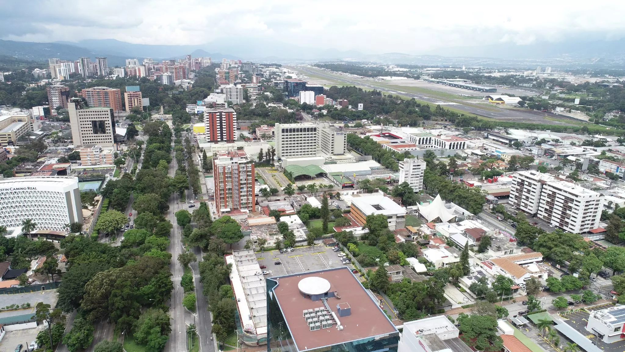
The first thing is you have to see is the historic center, the Plaza de la Constitución and exploring the surrounding area, home to the Metropolitan Cathedral, the National Palace of Culture, the Portal del Comercio, and the Sixth Avenue Promenade—all iconic landmarks in the Historic Center. Then you can visit Cantón Exposición in Zone 4, an area that offers a glimpse into the city’s urban transformation. And if you are visiting on a Sunday, take a walk along Pasos y Pedales on Avenida Las Américas, a space where people can walk, exercise, and enjoy the city.