Miami, Florida, USA
Crowdsourced Data Boosts Miami Climate Resiliency Efforts.
Project Type:
Community Engagement, Environment, Infrastructure, Technology
At a Glance
Created an app for residents to report flooding on their streets, creating an influx of crowdsourced data that the City could act upon.
Received data from mapped geolocation spots that identified neighborhoods needing infrastructure improvements.
Accessed satellite images through Google’s Environmental Insights Explorer that guided streetscape planning and reduced runoff and flood levels.
Miami’s Weather
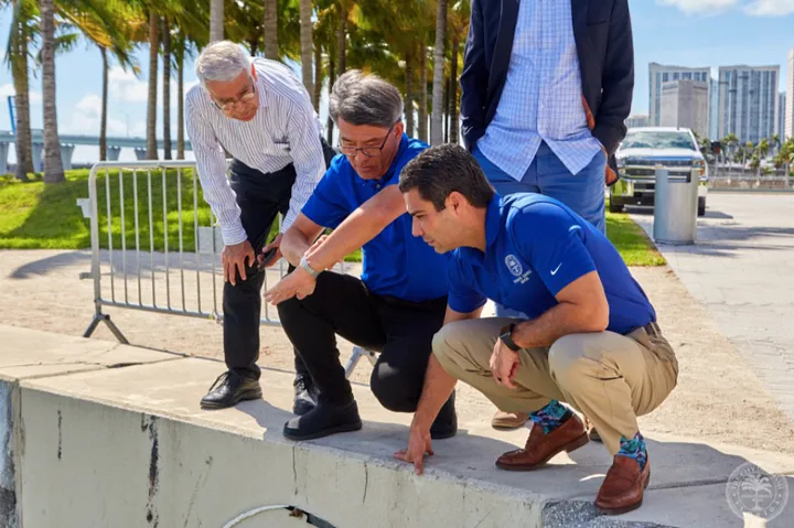
Given Miami’s extensive coastline and frequent tropical storms, city officials are accustomed to hearing from residents when streets flood. Yet until recently, most of the complaints they received came from people who lived close to the ocean — often in affluent communities.
That meant help was being provided unevenly. “It was like the squeaky wheel gets the attention,” says Melissa Hew, resilience programs manager in Miami’s Department of Resilience & Public Works.
But Miami’s approach to managing floodwaters and the broader impacts of climate change has changed since work began three years ago on the Miami Forever Climate Ready plan. The collaborative effort convened stakeholders and local experts to make Miami more resilient to growing threats — including more frequent and intense floods, storms, and high-heat days. A main goal of the plan, published in January 2020, is to make decisions based on data-driven assessments, including historic and crowdsourced data, to ensure a methodical and equitable approach. Another is engaging stakeholders (especially residents) and incorporating their feedback into the plan and its implementation.
Both of those goals have guided Miami’s partnership with ISeeChange, a company that created an app in partnership with the City to make it easy for residents to report flooding on their streets. Since it launched in July 2020, data crowdsourced through the app has been used in several ways to guide flood response and remediation efforts.
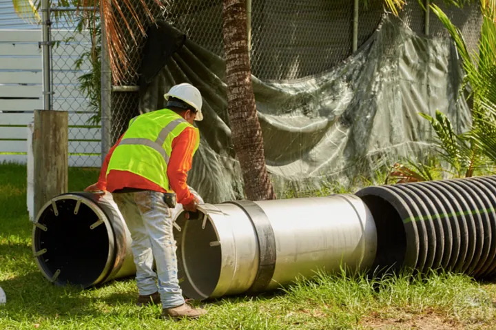
The most immediate impact involved maintenance crews. When residents report incidents through the app, the Department of Public Works can send crews out to address the flooding, which is often due to a clogged drain or other obstruction.
“Because we don’t have enough inspectors, these residents have been our eyes on the street. It’s been extremely helpful.”
Data received from the app is also mapped using geolocation, allowing the city to notice patterns and identify neighborhoods that require infrastructure improvements. That’s particularly important in disaster preparedness efforts, Hew notes, including capital project planning. “Having this data gives us an upper hand: We have a better idea of what’s to come,” she says. “We know what the flooding will look like, and we know the type of infrastructure we need to put in place,” such as stormwater systems.
“We didn’t hear as much from the folks inland, even though they tend to be equally if not more affected by climate hazards.”
A Community Engagement Upgrade
When the City released its stormwater master plan last year, the app also came in handy on the stakeholder engagement front. In addition to in-person meetings where residents could point out flood-prone areas on a map, the app offered another touchpoint to ask community members what they were experiencing and collect their feedback.
“We went to the community to see if the forecasting models were validated by what the residents were seeing,” Hew says.
The app also guides the Department of Resilience & Public Works’ outreach efforts. It doesn’t reach all Miami residents, since some lack access to reliable internet access or have limited English proficiency. (A Spanish-language version of the app is also available.) But by seeing which neighborhoods have low levels of engagement in the app, Hew and her colleagues can tell their community managers to focus in-person efforts in those areas.
“It’s not a total loss when we are not able to engage with them digitally. It highlights a different form of engagement we need to initiate.”
Her department utilizes data beyond the ISeeChange app as well. Through a pilot with Google’s Environmental Insights Explorer, the team has access to satellite images that detail Miami’s tree canopy. That is more granular data than the City has ever had, says Alissa Farina, who is also a resilience programs manager in the resilience department. She anticipates it will guide streetscape planning moving forward; trees can help reduce runoff and flood levels by absorbing water.
The hope is to pull together in one place all the data the City receives about how climate change affects residents. In addition to the app, residents can also provide information through email and 311. The larger goal is a central, GIS-based database that all city departments can access and pull from, Farina says. This resource would be maintained by the Department of Innovation and Technology (DoIT), which leads Miami’s data-related efforts, and help improve capital project planning, emergency management, and implementation of climate-related programs, among other things.
With the effects of climate change likely to intensify in the coming decades, the stakes are high for Miami’s resiliency efforts. But the City’s commitment to foundational data-driven practices, especially stakeholder engagement and data governance, is already yielding clear benefits.
“Being serious about resilience means being serious about data-driven assessments and decision-making, in my view. We’re in the early stages of this effort, but we’ve already developed invaluable new ways of gathering, analyzing and acting on data. As a city on the frontlines of climate change, there’s no time to waste.”